Saturday, August 31, 2013

Sierra Cascades – 8/31/2013 – Yreka to McCloud


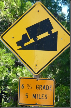
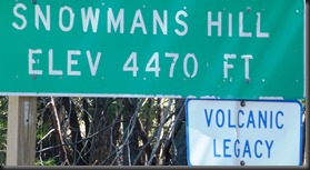
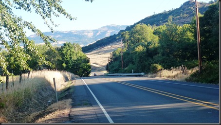
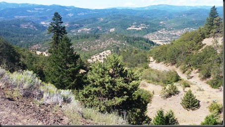
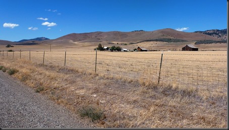
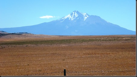
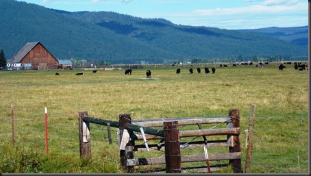
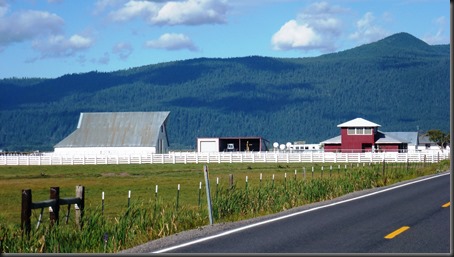
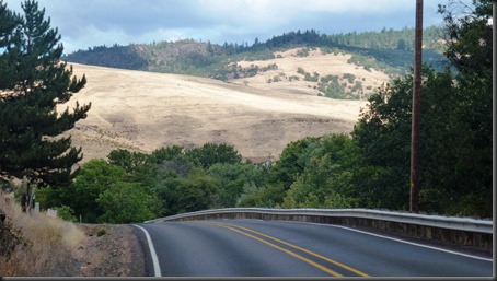
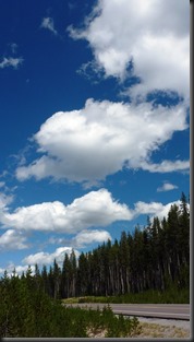
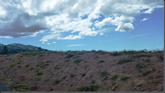
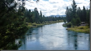
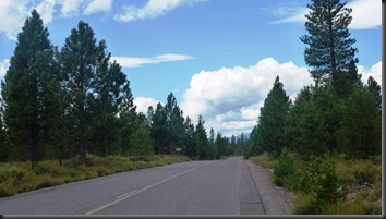
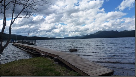
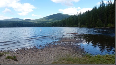
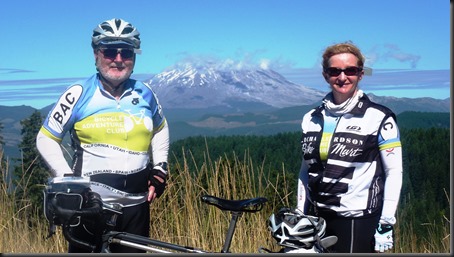
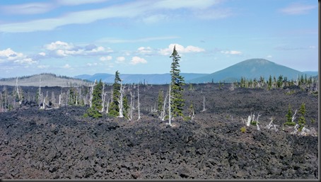
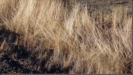
Even though we could see Mt Shasta a lot today, the light was never right for a good photo.  In fact it looked like a day devoid of decent photos so I took a picture on grass growing by the side of the road. The other photo was on the first climb.

2013-08-31 07.07.58

 2013-08-31 08.55.39

On paper, TODAY'S RIDE did not appear too difficult and both Brenda and I thought it was moderate, but others are complaining of tired legs.  This is probably a result of 13 day’s riding.

It’s looking more and more as if we’re not going to be able to complete this ride due to the Rim Fire near Yosemite. I know that the tour leader is considering options and we should know more in a day of two.  My guess is that the 24 day ride will be an 18 day ride. Stay tuned.

2013-08-31 11.29.51

2013-08-31 12.10.55

2013-08-31 12.10.33


Miles today = 52, Elevation gain = 3,016.  Total miles = 782, Tot Elevation gain = 44,455

Friday, August 30, 2013

Sierra Cascades – 8/30/2013 – Ashland, OR to Yreka, CA


2013-08-30 07.21.09

 2013-08-30 09.59.01

As we leave Ashland and Oregon behind (photo on left above) we do it uphill, a 13 mile climb  of 2,500 feet.  Our route sheet calls this a “nice shady climb”:  shady it is, but a 9% grade is never nice.  But the grade eventually mellows and it is a beautiful, tree covered climb.  But when we get to the top (photo on right above) we see desolate landscape.  HERE IS THE ROUTE.

At mile 18 we are “Welcomed to California.”  We spend 7 or 8 miles on the shoulder on Interstate 5 but it’s downhill and there is a wide shoulder. Just before we exit we pass through a Fruit Inspection Station but I’m waived on and don’t have to stop.

The desolation continues or gets worse.  There is no shade and it’s hot.  ‘Feels like 100 although it’s only 80. ‘Guess I can’t complain too much since it’s 104 degrees in Dallas today.  Even Mt Shasta seems desolate in this environment.

2013-08-30 12.23.28

 2013-08-30 12.00.47

When you’re in the road you often don’t know the date or day; sometimes you even forget the year.  So it was somewhat a surprise to learn at happy hour last night that Labor  Day weekend begins today.  This impacts where we could get lodging, the routes, traffic and even which restaurants we can book.  Maybe that’s why the next three days are fairly easy.  Whatever the reason, I’m ready.

This was ride day 12; the trip is half over.  So far we’ve ridden 730 miles and climbed 41,439 feet. That’s a daily average of 61 miles and 3,453 feet of climbing.  No wonder my legs are tired.

Miles today = 47, Elevation gain = 3,747.  Total miles = 730, Tot Elevation gain = 41,439

Thursday, August 29, 2013

Sierra Cascades – 8/29/2013 – Crater Lake to Ashland. OR


2013-08-29 05.25.18

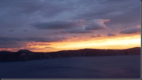
I had to take one last photo of the sunrise at Crater Lake.  There are many people sitting in the rocking chairs enjoying the sunrise at 6:30 am.  I’ll bet none of them are going to ride a bicycle 90 miles today.

2013-08-29 08.36.57

We dropped 2,000 feet quickly and had breakfast at the 7 mile point.  The temperature was 50 degrees but felt colder because of the natural wind and the wind due to 20 mph downhill.2013-08-29 08.37.05

By mile 27 we had removed the extra layers of clothing.

Much of today’s ride was in farm and ranch land. It would have been a great ride if it were not for the headwind.  But overall, it wasn’t bad for a 90 mile day.

In round numbers, we started at 7,100 feet, and throughout the day we climbed 3,100 feet and descended 8,200 feet, ending at 2,000 feet.  The bad part of this ride is that we’ll be back at 8,000 feet in a couple of days – more difficult days ahead.

2013-08-29 14.52.07


As we descended into Ashland – a 3,000 foot descent – the vegetation suddenly turned yellow; it’s obviously much drier here.

Once again riders ask me if Brenda has gotten stronger or if I’ve gotten weaker? My answer is “yes”.  Once again she arrives at the motel an hour before me. But that’s not all bad; she has the luggage in the room and had purchased a Diet Pepsi for me.

Miles today = 90, Elevation gain = 3,141. Total miles = 683, Tot Elevation gain = 37,692

Wednesday, August 28, 2013

Sierra Cascades – 8/28/2013 – Rest Day at Crater Lake


What? Another rest day?  Well we’d better enjoy it. The gravy train stops today.  Tomorrow we begin 9 days of riding, starting with a 90 mile ride to Ashland.  Of the 9 days, two look tough, including the toughest ride in the trip.2013-08-28 11.26.30

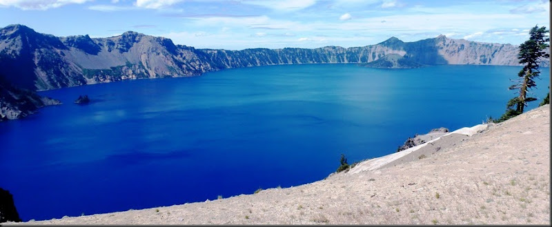
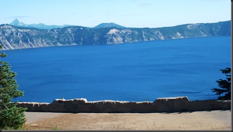
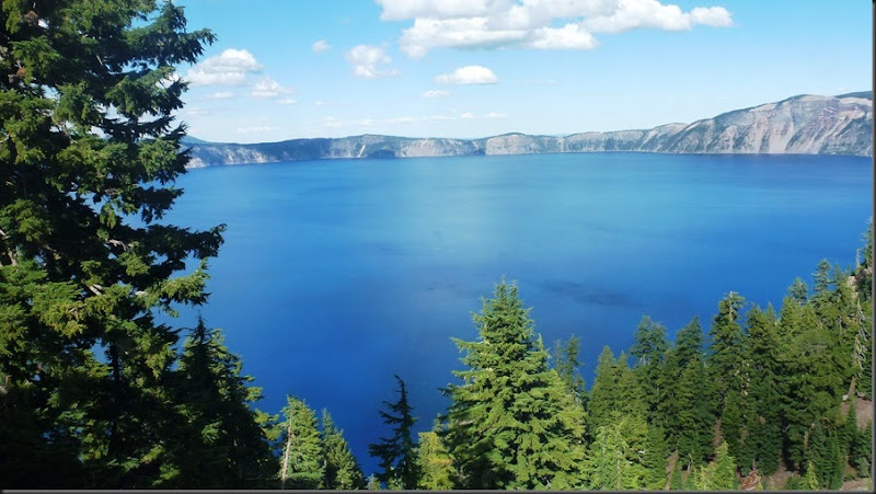
CRATER LAKE is the second deepest lake in North America and the clearest lake in the world, as measured by the SECCHI DISK. We learned of this from a National Park Ranger who accompanied us on a 2-hour tour on the lake on a trolley.  The ranger, Tim is a a volunteer; a retired geologist. 

2013-08-28 08.50.02

 2013-08-28 06.14.07

I took the left photo above about 6:15 this morning. Went downstairs to get coffee and found half of the group was already there – in spite of a rest day and the café not opening until 7:00

2013-08-28 11.26.23

 2013-08-28 11.06.14

Tuesday, August 27, 2013

Sierra Cascades – 8/27/2013 – Odell Lake to Crater Lake


2013-08-27 06.35.31Early morning temperature was 38 degrees. So we dressed with base layer on the top, tights on our legs, shoe covers, skull caps,  two layers of gloves.  I found this comfortable. By mile 22 it all came off. Photo at left is Odell Lake as we were leaving.


We thought the traffic would be bad only for the first 30 some-odd miles but there were 18-wheelers all day.  The more tired we got the bigger the problem. And it was a DIFFICULT DAY with 68 miles and 4,290 feet of climbing.


You’ll see below the clear skies; no evidence of forest fires yet.

2013-08-27 12.06.44


  2013-08-27 13.36.18

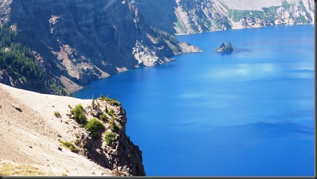
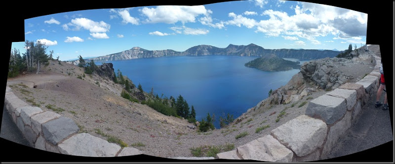
When I finally got to the rim road- it was very difficult - I was stopping more than once per mile – I pulled over at the first viewpoint and shot the composite photo below.  We were disheartened at this point to see the road once again going up and up and up.

2013-08-27 14.10.04_stitch

And when I got to our room I discovered we have a great view (see below) out of the  window. Impressions so far is that this National Park Lodge, which has recently been updated, is excellent.

2013-08-27 15.00.55

Miles today = 68, Elevation gain = 4,290. Total miles = 593, Tot Elevation gain = 34,551

Monday, August 26, 2013

Sierra Cascades – 8/26/2013 - Sun River Resort to Lake Odell


This blog was posted a day late because we did not have wi-fi in our cabin at Lake Odell.

2013-08-26 sc (1)First photo today was just a few miles out of town.  I believe it was the Little Deschutes River.


2013-08-26 sc (2)Except for the last 5 miles, we had very quiet roads today; very little traffic.  And, for the most part, the road surface was good.  We did have a head wind, maybe 20 mph for most of the day.  HERE IS THE ROUTE.

At about mile 30, Brenda had a flat in her rear tire.  I found a thorn imbedded in the tire but could not get it out. So I installed a boot and we were re on our way.

At about mile 37 we encountered chip-seal. The combination of chip-seal and a headwind made me wonder: Are we already in Texas?

Photos below are of the Lake Odell.


2013-08-26 sc (5)

2013-08-26 sc (4)

Miles today = 56, Elevation gain = 1,870. Total miles = 525, Tot Elevation gain = 30,261

Sunday, August 25, 2013

Sierra Cascades – 8/25/2-013 – Sisters to Sun River


Sun River is not a town; it’s a resort pretty much in the middle of nowhere.

Yesterday I justified today’s  EASY ROUTE but I didn’t have to. Almost everyone took the easy route, primarily due to threatening weather.  The forecast was for thundershowers in the afternoon so we were surprised to see rain at the motel at 6:00 am.  Brenda and I waited until 8:15 to leave and found dry roads.  The  thundershowers did arrive after we arrived at Sun River at 12:30.

2013-08-25 10.53.03Starting mid-day on Friday the topography and vegetation started changing.  The thick fir forest gave way to scattered pines and sage.  It somewhat looked like a desert.  Maybe that’s why we passed the High Desert Museum today.

2013-08-25 08.21.19And a lot of today’s ride was through farm land and ranchland.  But of course there were still a few hills. I got caught in a very brief shower.  We had headwind on the last 15 miles; reminded me of home. Overall it was an easy day.

Today was riding day 8 out of 24; the tour is 1/3 complete.

Miles today = 48, Elevation gain = 2,216. Total miles = 547, Tot Elevation gain = 28,391

Saturday, August 24, 2013

Sierra Cascades – 8/24/2013 – Rest day in Sisters, OR

What? Another rest day already?  How does a tour organizer determine when to have a rest day? I suspect there are at least two factors.

Factor 1: How difficult the riding has been. And, as the past few day’s blog entries have indicated, it’s been difficult for me.  How do the first 7 days compare to the ride as a whole? Overall daily average mileage is supposed to be 50 miles; our average so far has been 61 miles or 21% greater than the overall average. Overall climbing is supposed to be 3,000 feet per day; the first 7 days average has been 3,739 or 25% greater than overall average.  So maybe the rest of the ride (17 days) will be easier, although I know of a couple of difficult days; one 97 miles.
 

2013-08-24 09.42.32 2013-08-24 07.28.41

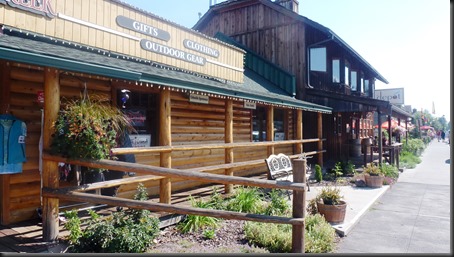
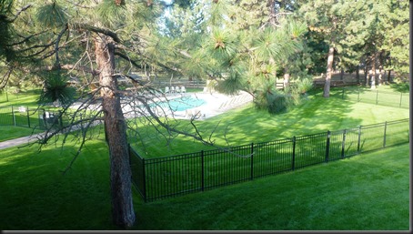
Factor 2: Finding good lodging.  The Ponderosa Best Western (photo right above) in Sisters is probably the best accommodation so far; large rooms in a park-like setting with large pool, hot-tub, etc.  And Sisters is an unusual town.  The official population is a little over 2,000 but the downtown is chock full of restaurants, coffee and ice cream shops, galleries, etc.  You’d think the population was 20 to 40,000.  The architecture is part ski-town and part cowboy-town.  Tourism is the main industry. This weekend features some type of cowboy event with fake shootings; next weekend is a 3-day folk music event with many artists at three venues.

This morning many of the females went to a yoga session; rider Patti is a yoga instructor. Most of the males were cleaning and lubricating their bikes because of recent rain. But more rain is forecast for tomorrow. Damn.

Although I don’t usually look at average speed or time in the saddle, I did look at this data for the first 7 riding days.  Average total time, including potty stops, butt breaks, lunch stops, etc. was 7 hours and 14 minutes per day.  On my cross country ride 4 years ago average daily time – average distance was 80 miles - was less than 6 hours. For the non-cyclist, a butt break occurs when your butt and the saddle no longer are friends.  Stopping for just a couple of minutes does wonders and you can resume riding in harmony.

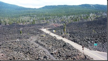
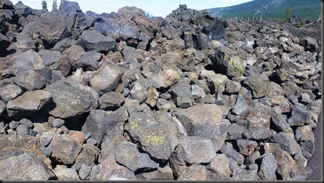
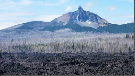
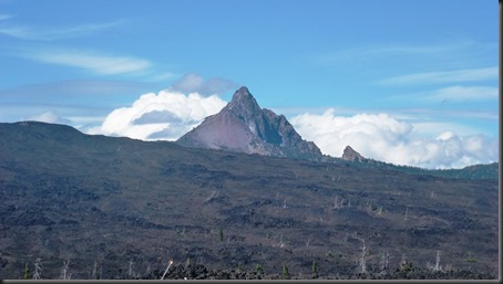
Our leader rode her bike up McKenzie pass this morning. She enjoyed it so much she took some of us up this afternoon in the van.  You can see several mountains and the road has been carved in lava fields thousands of years old.
2013-08-24 13.06.35

 2013-08-24 13.20.00

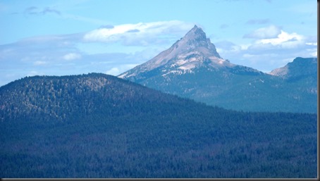
Mt Washington and Three-Fingered Jack Mtn.
2013-08-24 13.21.44

 2013-08-24 13.23.28

2013-08-24 13.35.38

 2013-08-24 13.26.47

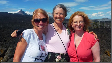
Lava is kind of ugly.  But the three sisters never looked better.

There are two possible routes tomorrow. We’re taking the shorter, easier route so we can get to town in time for Brenda to have a manicure and a pedicure.  At least that is my story.
Friday, August 23, 2013

Sierra Cascades – 8/23/2013 – Detroit Lake to Sisters


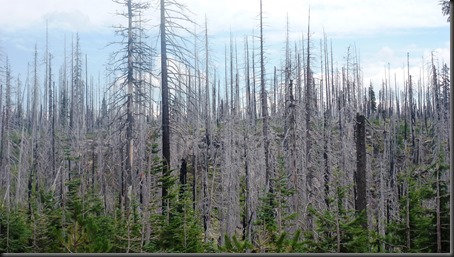
2013-08-23 11.23.26Samantha Nobrega commented on my blog:  I just realized that you are cycling towards two pretty large fires in the area: the American fire which is 17k acres and 60% contained but is inundating our little city (Reno) with smoke and the Rim fire which is very near Yosemite. The Rim fire has already burned 53k acres and is only about 2% contained at the time of this writing. The smoke from the two fires is causing health advisories. If you see you are getting in a smoky area, best stay put or head in a different direction. Stay safe out there!  -  Alison is monitoring the Rim fire since our ride ends there in three weeks.  Supposedly this is top priority for the Forest Service. This photo of a former forest fire was taken near today’s summit.


2013-08-23 07.10.212013-08-23 07.13.09The weather looked questionable when we awoke; there were low clouds but it looked promising.  And sure enough, the fog and clouds burned off quickly.


2013-08-23 11.33.33I had anticipated TODAY'S RIDE to be one I wouldn’t enjoy, another damned 38 mile climb with 3,900 feet of climbing.  But today’s climb was less steep, easier and, from a pedaling perspective, more enjoyable than most of the long climbs we’ve experienced.
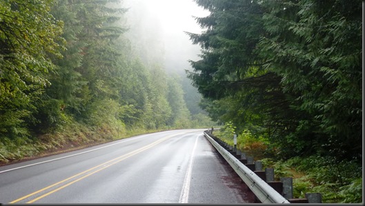
There was one bad aspect of today’s ride: traffic.  It was just the opposite of yesterday’s no traffic ride.  We had traffic continuously today.  It was sometimes scary, depending on the width of the shoulder.  Of course we knew there would be days like this when we signed up so I not complaining.  But it was unpleasant; just saying.


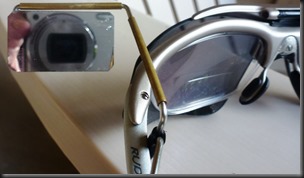
2013-08-23 15.15.50One item essential for today’s ride is a rear view mirror. I didn’t use this during my first 40 years of cycling.  I bought one before my cross-country tour and now can’t live without it.  And with today’s traffic and a sometimes non-rideable shoulder it is essential to know who’s behind you, how many vehicles there are, how big they are and how fast they’re coming.  Today I continually monitored my rear.


After the 6-mile downhill the route sheet claims we have almost 14 miles of a “long, undulating slog into Sisters”.  To me this was the best part of the ride by far. Undulating means rollers. I love rollers.  And it was basically downhill. I was turning 18 mph, faster than my norm. It was great. You can stretch your legs; it’s the open road – much better than going up a mountain or going down. 

Why am I on this mountainous ride anyway? Smile

Miles today = 57, Elevation gain = 43,972. Total miles = 424, Tot Elevation gain = 26175

Thursday, August 22, 2013

Sierra Cascades – 8/22/2013 – Government Camp to Detroit Lake


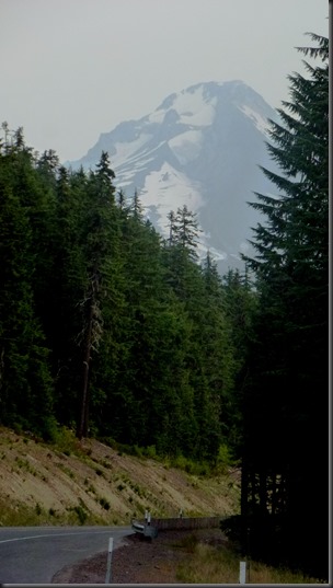
2013-08-22 06.56.08Well Government Camp wasn’t  a camp at all; it is a ski area for Mt Hood. (Photo on right is our last view on Mt Hood.) And like all ski towns it was full of nice shops.  Our lodging wasn’t cabins; it was a new Best Western motel.  But it was a motel without air conditioning (These still exist?) and the temperature when I arrived was 90 degrees.  Brenda didn’t get much sleep because of the heat.

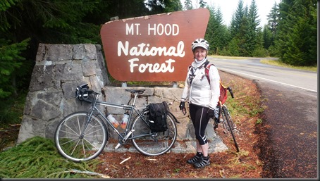
Today's 70 mile ride through Mt Hood National Forest seemed much easier than yesterday’s 45 mile ride. Most of the days so far, and I believe again tomorrow, consists of a single hill, maybe 30, 40, 50 miles followed by a sometimes scary descent.  But going up hill for 30 or more miles really takes the energy out of you. Or at least out of me.

But today’s ride was a mixture. There were three smaller climbs – last one was 10 miles – but much of the day consisted of rolling terrain.  This is good.

I was feeling better today and rode my normal pace, which is pretty slow.  But I kept up with Brenda most of the day.

Remember last night’s heat? By mile 20 today the temperature was in the 50’s and people were cold. Brenda put on her long fingered gloves. At mile 30 it started to rain. So the dilemma is (1) to put on a light rain resistant jacket or (2) the whole kit with rain boots, rain pants and a more rain-proof jacket. We took the first option which was good because the rain didn’t last. But it rained hard and our rim brakes didn’t work well. Not a good situation when going down a mountain. ‘Good thing the roads dried later in the day when we had a 10% down-hill.  But the situation made me think of a bike with disc brakes.


2013-08-22 11.53.20Photo at the left was at the last summit. We immediately had the 10% down for a mile and then an incredible 5 mile downhill of probably 5%, extremely smooth road, good visibility, radius on the switch-backs perfect and no cars! This smooth road with no cars continued for a total of 17 miles until we reached Detroit Lake.

Miles today = 69, Elevation gain = 3,911. Total miles = 367, Tot Elevation gain = 22,203

Wednesday, August 21, 2013

Sierra Cascades – 8/21/2013 – Hood River to Government Camp, OR


We’re already been in places with no breakfast, at least not early enough, we’ve stayed in places with no air conditioning and today will be another ride with no place for lunch – but tonight we’re staying in something called GOVERNMENT CAMP?  What? A WPA facility?

WIKIPEDIA, the source of all knowledge, tells me this is on the MOUNT HOOD SCENIC BYWAY. We’ll see if it’s worth the climb and if the accommodations are up to my standard.

2013-08-21 09.35.00

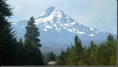
Mount Hood was visible much of the day and by different angles as we passed by.


I started the morning with a flat rear tire.  We were already later than I wanted but this only added 10 minutes to our departure.  There was a piece of wire in the sidewall, obviously something I picked up the day before while riding on the shoulder of Interstate 84.

This was a DIFFICULT RIDE. I didn’t feel particularly good and my legs were toast.  I was the last rider in. Brenda beat me by an hour.

I considered getting in the van.  In my 40 years of cycling, I don’t think I’ve ever gotten in the van.  But I was tired.  So I was debating with myself what I’d do if Alison found me.  Fortunately by the time she off-loaded the luggage and came back I was within 3 miles of the peak and had calculated I could complete the ride by 3:45 or 4:00. I actually arrived at 3:44.  How will I feel tomorrow? It’s 69 miles and 3,900 feet of climbing.

Miles today = 46, Elevation gain = 5,524. Total miles = 298, Tot Elevation gain = 18,292

Tuesday, August 20, 2013

Sierra Cascades – 8/20/2103 – Rest day in Hood River


I need to tell you about one of my crazier cycling friends, Daniel Telep from New Hope, PADan is 80 something; last year he organized a team of like-aged gents who participated in the RACE ACROSS AMERICA, one of the best-known and longest annual endurance events in the world.  French TV picked up on this and produced a video.  To see it, copy and paste the following link in your browser. (Or maybe you can CTRL+Click on the link)

https://www.youtube.com/watch?feature=player_embedded&v=pgqi_8U8qpE

2013-08-19 13.19.14

   2013-08-19 09.44.36

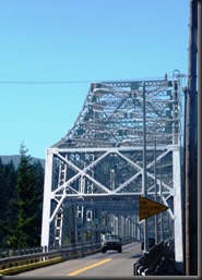
Photo on the left above is “Bridge of the Gods”, the goal of Cheryl Strayed in the book Wild.  When we crossed over it we were in Oregon.

2013-08-20 06.07.16

  2013-08-20 08.41.17

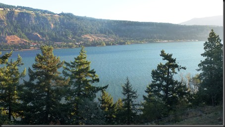
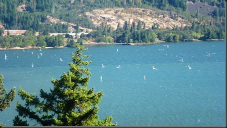
Photos above are of the Hood River taken from our balcony.

Two unusual events happened at dinner last night.

  • I got a cramp in my left calf.  I haven’t had a cramp in probably 25 years so this shows how wiped out I was after the past two days rides.  And no, I’m not going to drink pickle juice.
  • Craig found a gold tooth crown in his food.  There was plenty of jokes about whether the café should comp his meal and was this worth more or less than the gold crown.  This morning he discovered it was his crown which had come out. Good think he kept it.

‘Walked to downtown Hood River this morning, about a 5 mile walk.  I think cycling is easier; at least you have gears!

Not looking forward to tomorrow’s ride; it’s only 46 miles but has more climbing (5,370 feet) than the last two days.  The climb is about 34 miles with 125 feet per mile.  That’s not too bad for an average but there will surely be steep sections.  And it’s the steepness of a hill that is the most problem to cyclists.